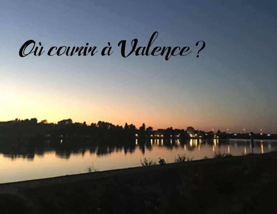
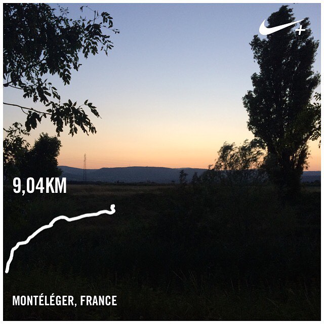
Today it is a 100% running article! I regularly get the question: Where to run in Valence? Then with the help of members of the #BeFringFit Crew I reveal our favorite places to run on Valence and its surroundings! The places of our runs change according to our objectives and our tastes. Some people do not like to run in town at all, whereas I do not like to take the car to go running (it’s probably because I do not have a car;)) and so I like to be able From home and cross several parks of Valence.
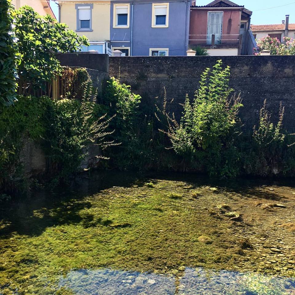
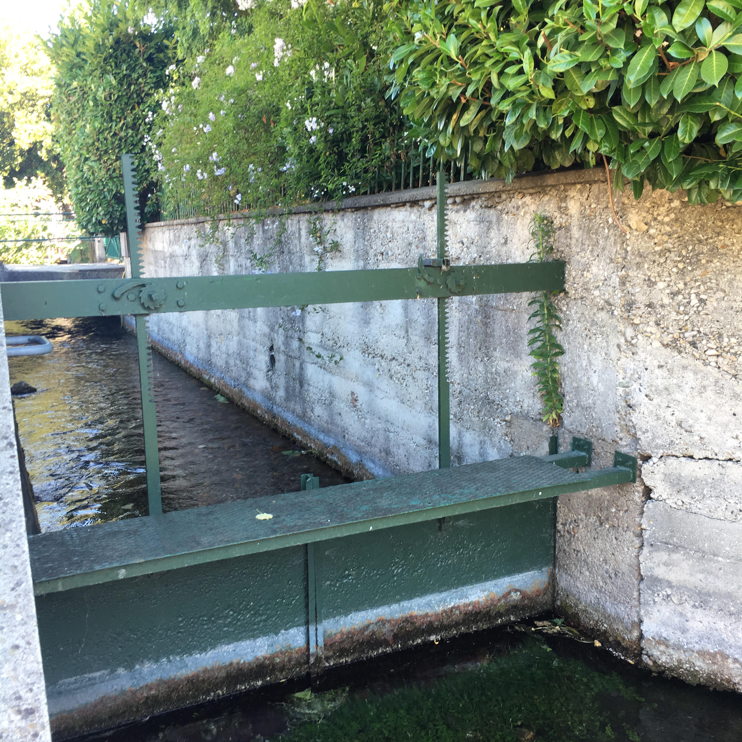
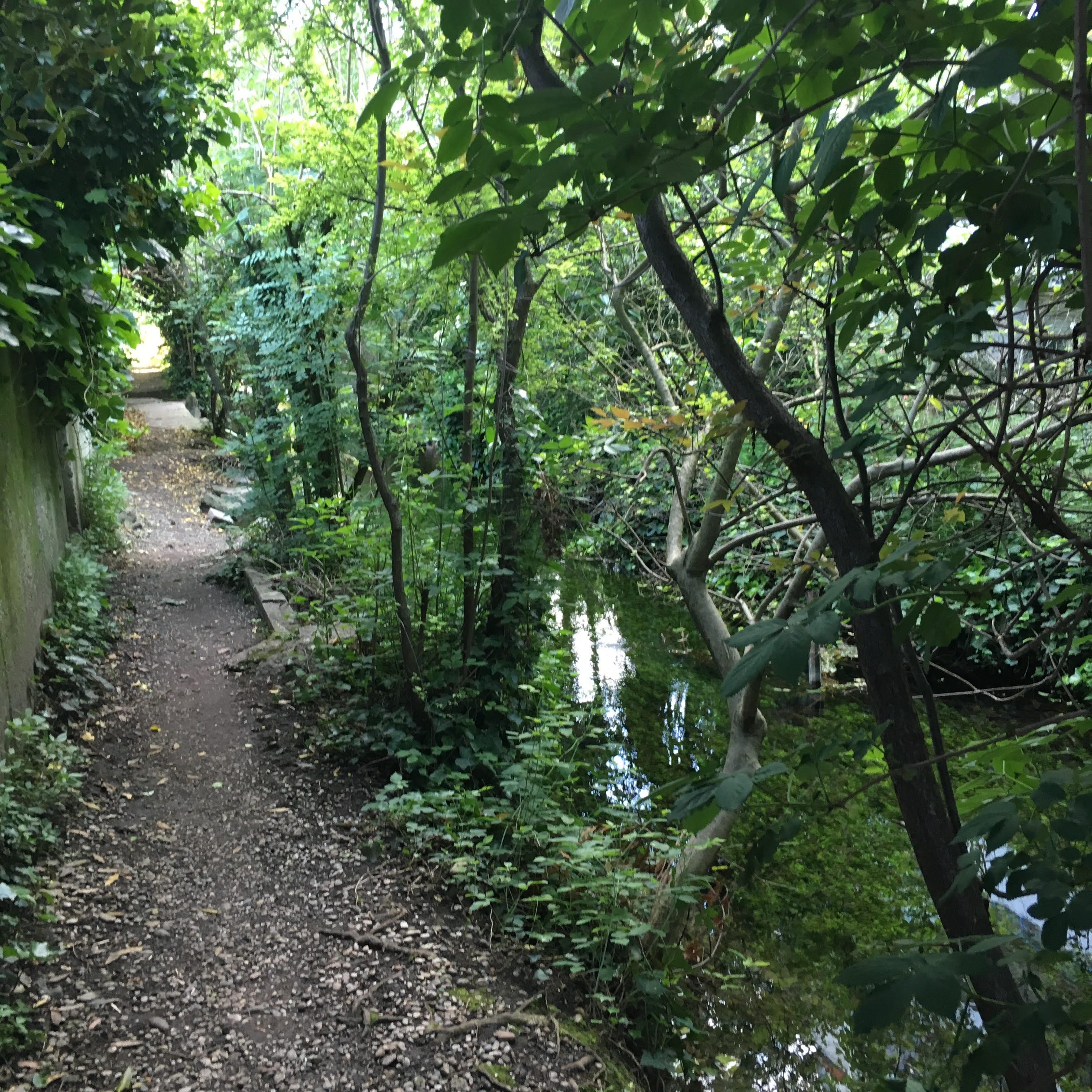
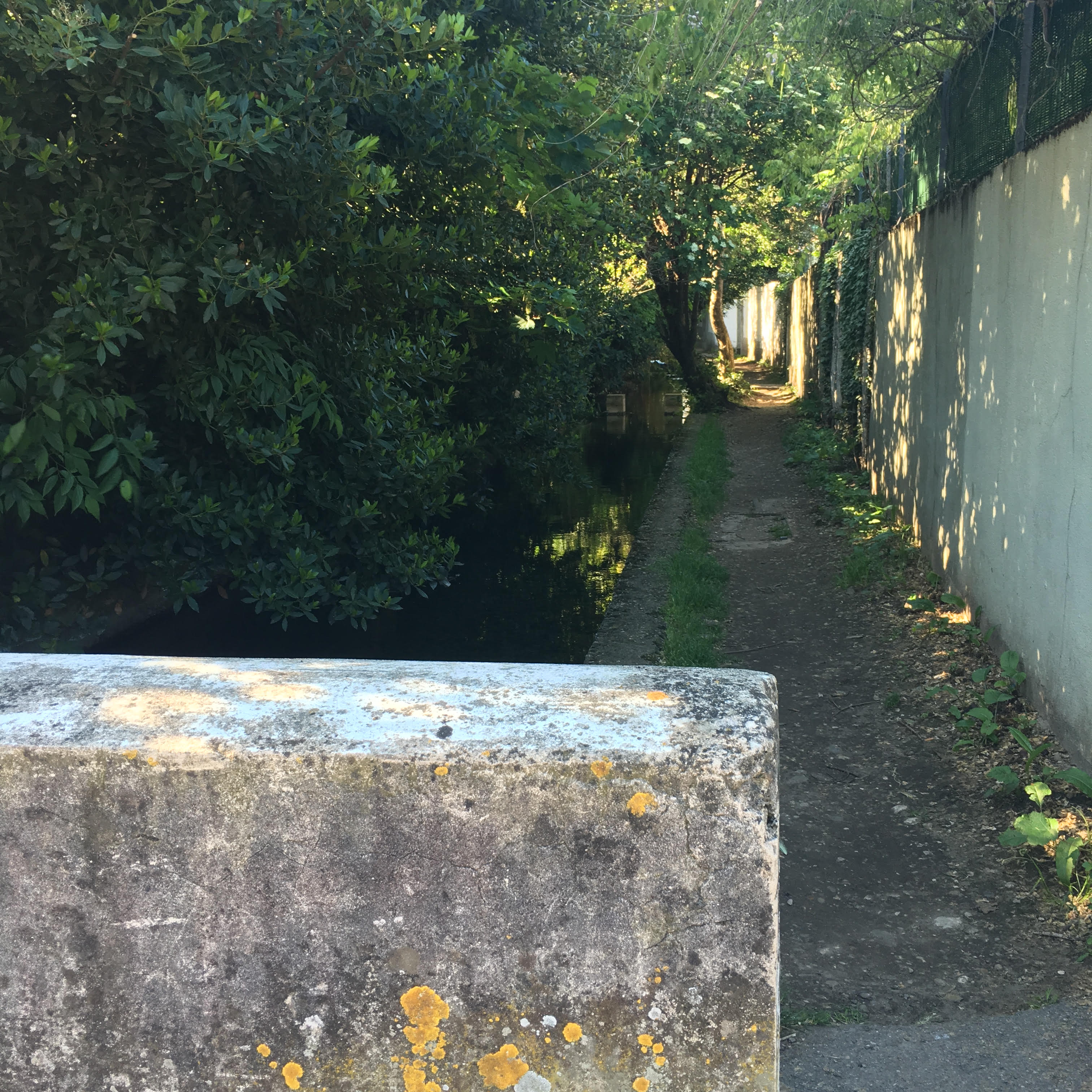
Les Canaux de Châteauvert.
I had heard for a long time about the canals. Indeed I had never been there. I went for the first time about 3 months ago. How to run allows us to rediscover our own city is amazing. Can not get lost just follow the channels. It’s a wonderful options where to run in Valence. I fell under the charm of this piece of greenery in the middle of the city, to tell you last Sunday I even participated in a tour organized by Valence Tourism!
Distance possible: Run 5-6km or less.
Type of soil: tar, some earthen passages.
 |
 |
 |
 |
Le bord du Rhône ardéchois – Via Rhôna.
The advantage of the Via Rhôna is that it offers 1001 possibility: from the run to 4-5km to the run of 25 terminals it fits! From the parking of the clinic Pasteur you can even go up to La Roche de Glun! The view over Valencia is really nice and the grounds nice!
Distance possible: long exit possible here (20-25km)
Soil type: path.
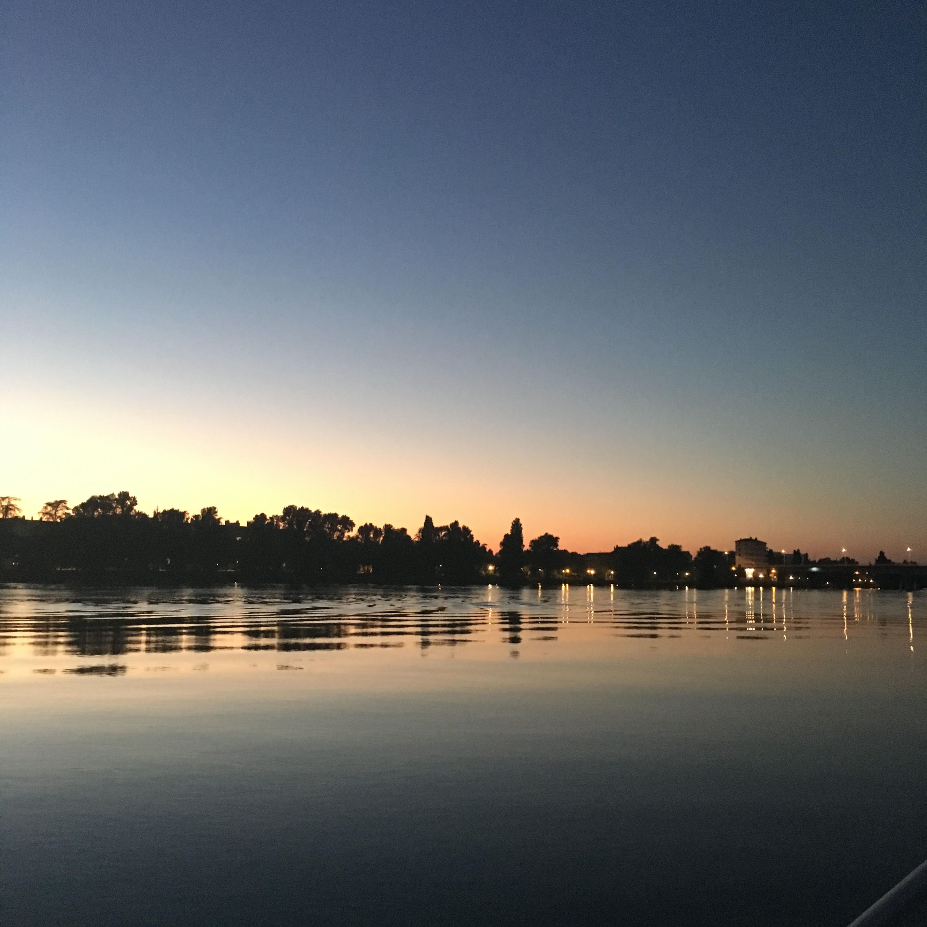
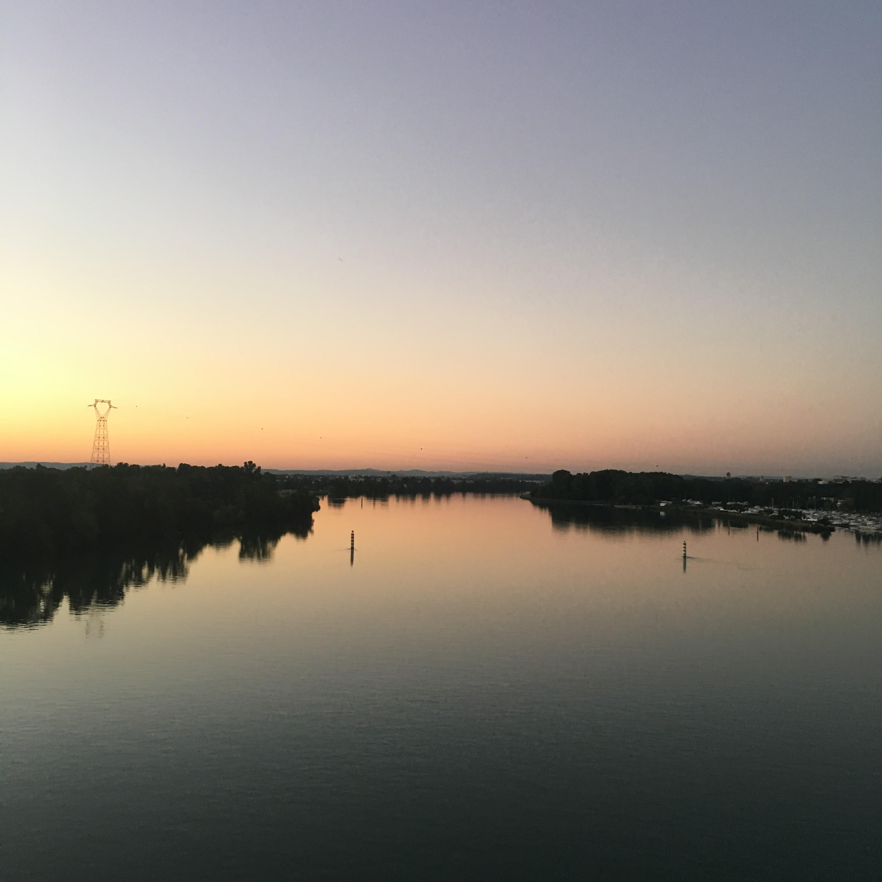
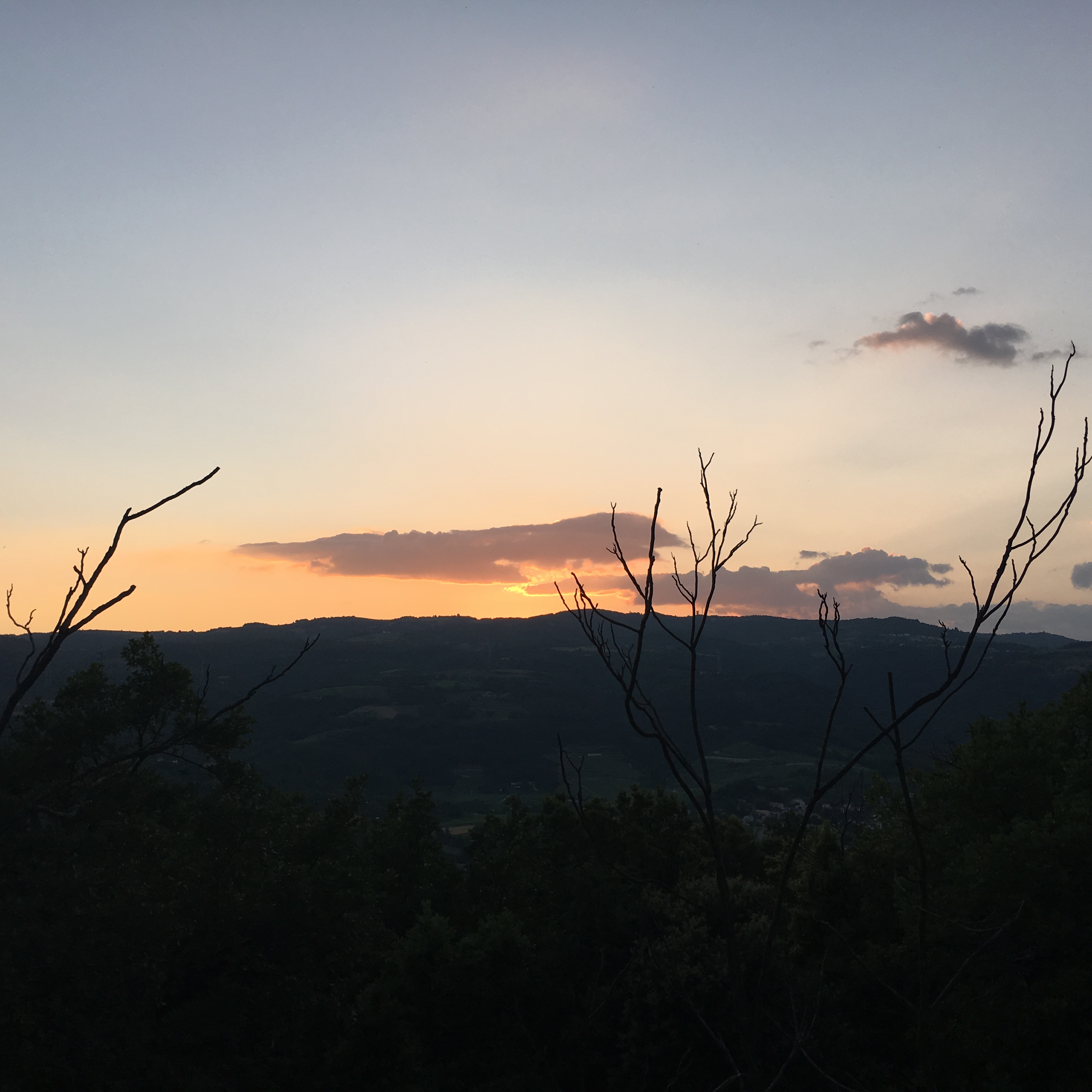
Le bord du Rhône drômois – Via Rhôna.
From Bourg Les Valence to La Roche de Glun dam a nice running session, always on the banks of the Rhône (yes I do not get tired!), You can be satisfied with 5km or 20 by continuing more Far away, the moment of the half turn you manage it, the Viarhôna it does not stop! If you want to enjoy the view of my second photo; At the exit of the bridge on the Ardèche side do not take the road towards La Roche de Glun but the road along the Rhone parallel to your way to go. At the end you will be on a small island of tranquility.
Distance possible: long exit possible here (20-25km)
Soil type: majority of tar and a little way.
 |
 |
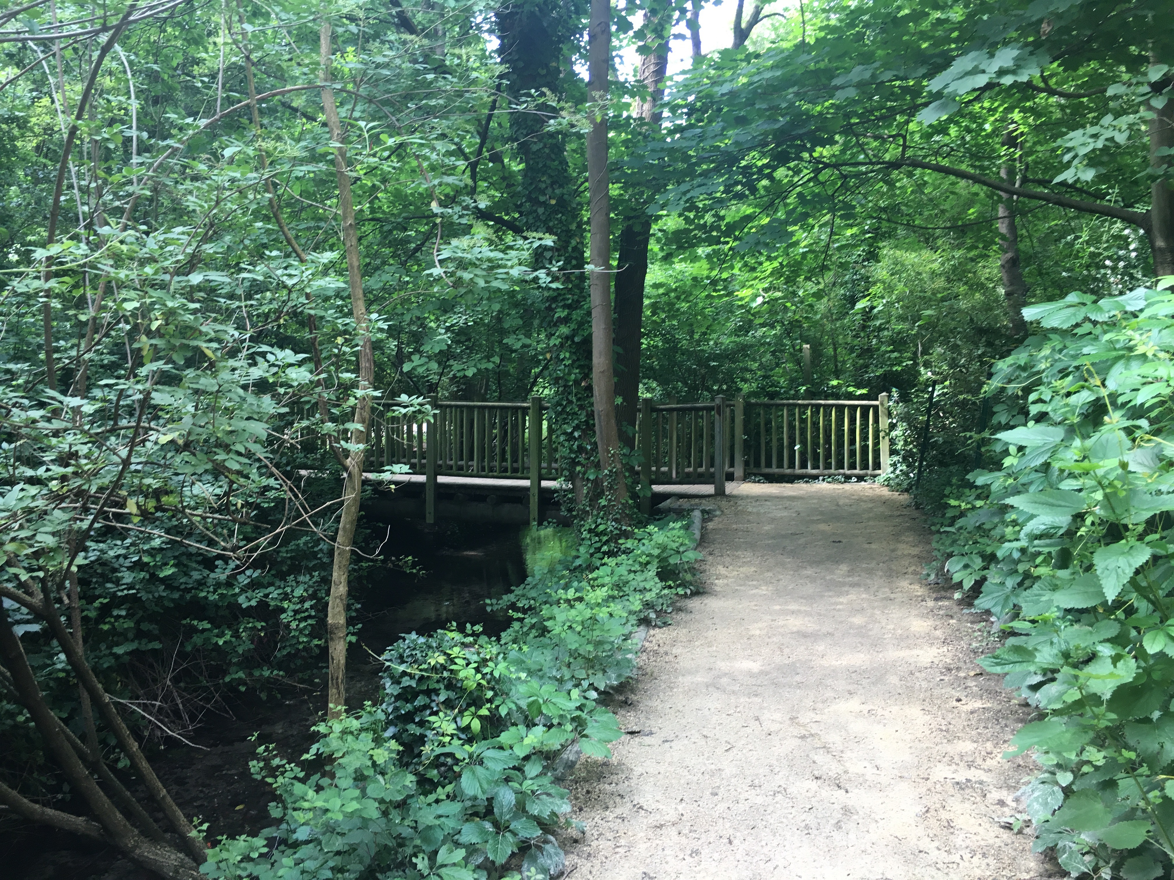
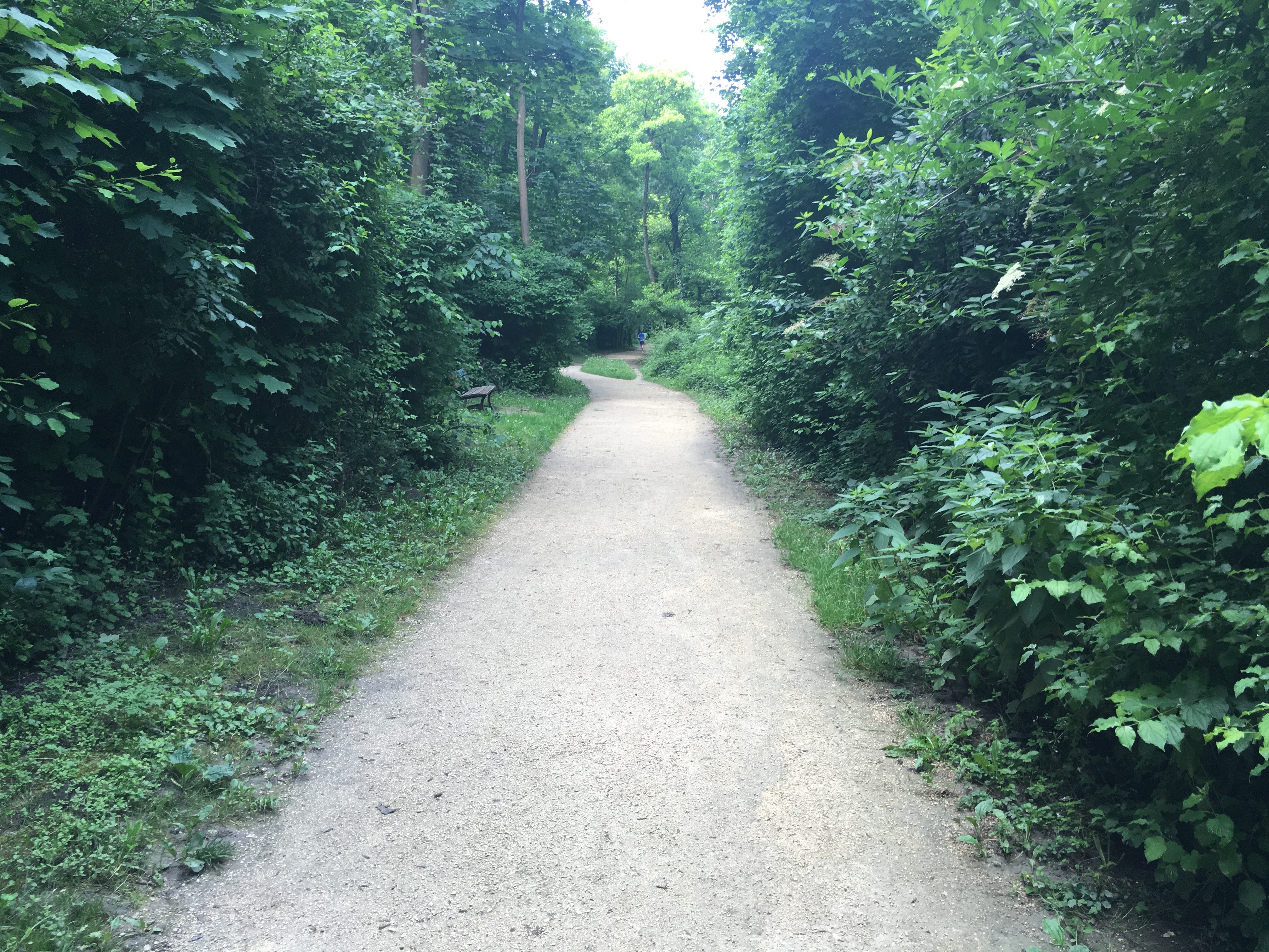
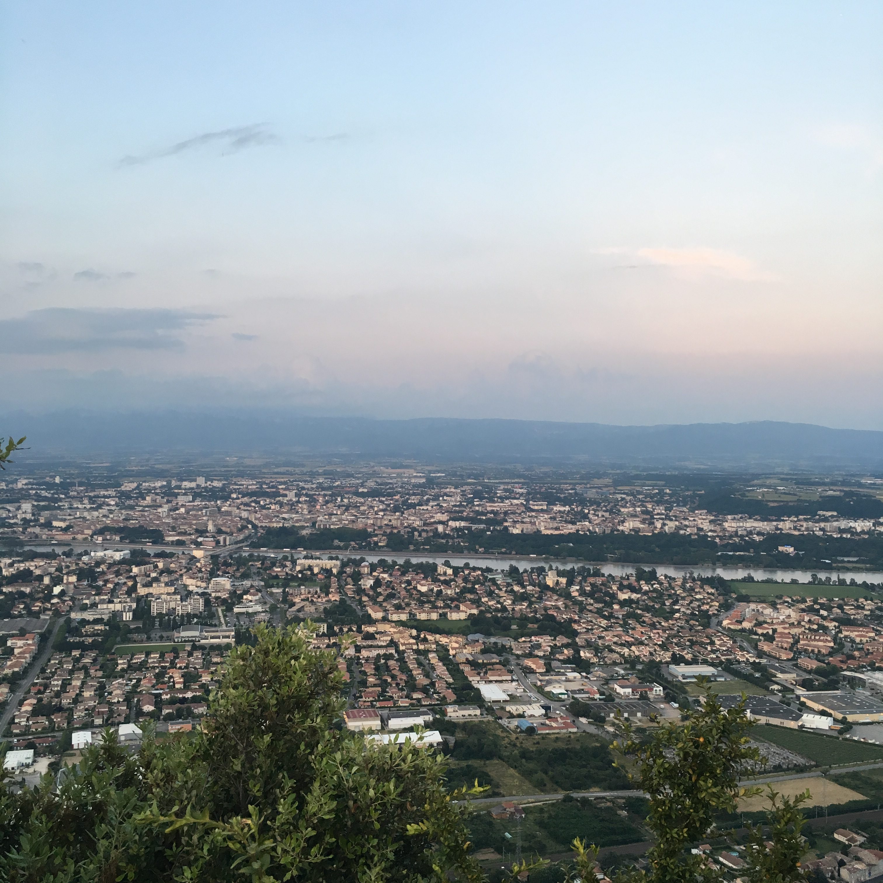
L’entre deux ponts. – Via Rhôna.
It is my favorite of summer, while remaining near the center one benefits from the calm and fresh Rhone. A passage under the Bridge of the Lônes to admire the beautiful frescoes of tag, we cross 50 meters on the bridge and here we are in the Drôme! We start the pleasant part, in the middle of greenery we pass in front of the restaurant Le Nautic, in front of the port to then take advantage of the new Park of the Epervière and finally the banks of the Rhone which offers a sunset absolutely magnificent. You are back at the Comet, then you know the way;)
Distance possible: Between 8 and 10km.
Soil type: there are two parallel paths: a road and a tar.
The map from the beginning, you have to climb the stairs to cross the bridge to the left (direction the motorway) and then take this map (Google does not know all the paths ..).
 |
 |
Le Parc des Trinitaires.
The tour of the park is fast it must do 1km, for beginners it is a good compromise since you can do several tours in a quiet setting right in the center too. Generally I spend in some of my runs because it’s very nice. You even have some weight machines available;)
Distance possible: it is a place of passage, but in the loop makes 1km, ideal for beginners.
Soil type: path.
 |
 |
Le Parc de Lorient.
The park can be made a loop, ideal for beginners, but it is also possible to leave direction to the football stadium of Étoile, to make the return trip, or to climb in Étoile by the peaks to go down on Beauvallon. Have a connoisseur accompany you so you do not get lost;)
Distance possible: the loop in the park is 1,2km, ideal for beginners. The return trip to the stadium is 9km. A little more than 10km by the crests.
Soil type: path.
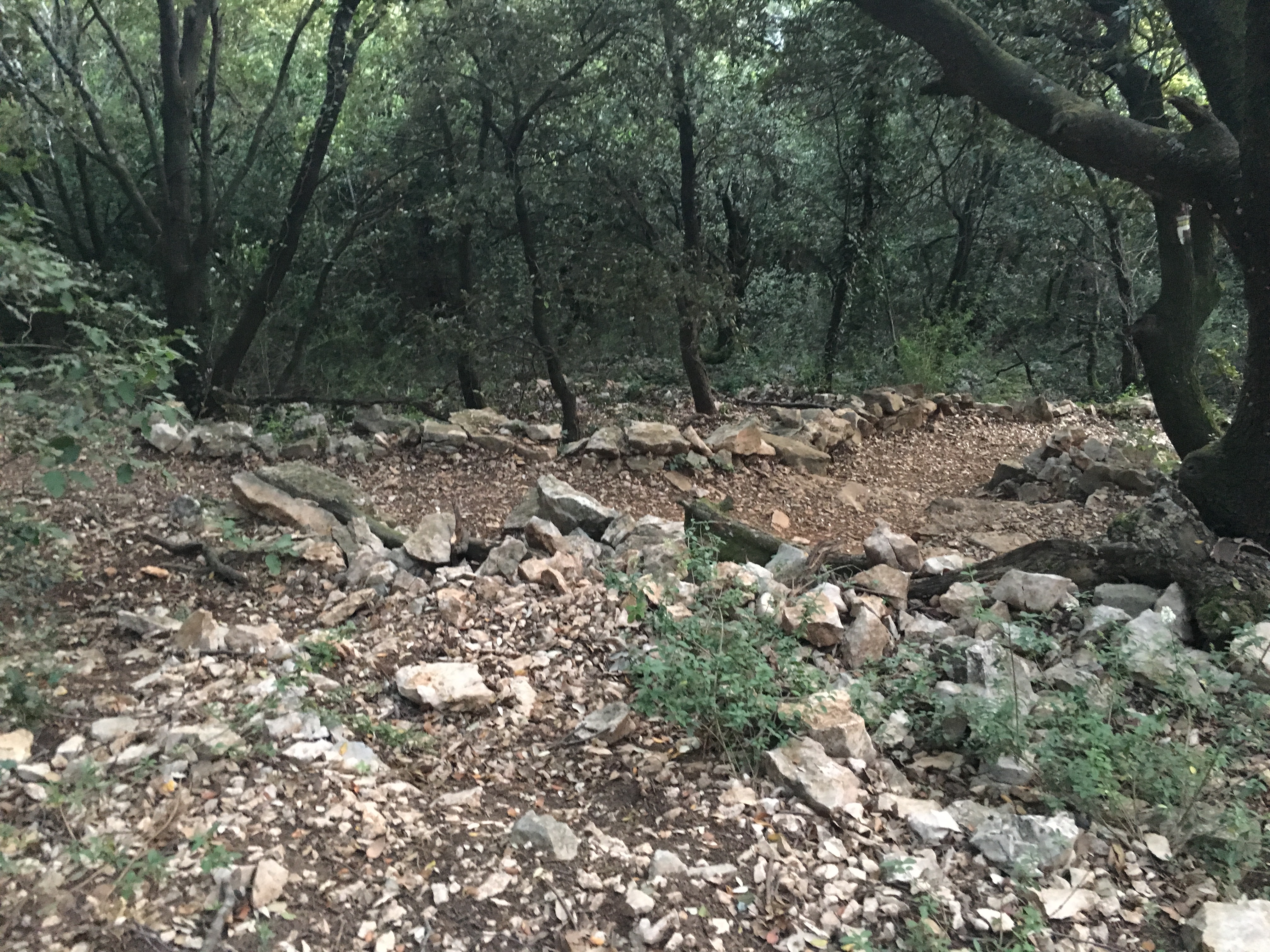
Crussol.
Crussol offers a magnificent view but do not be afraid to climb! I will not even classify Crussol in the runs but rather in the trail sessions! The opportunity to vary the practices and get out of his comfort zone! To do in group it is more nice.
The plan: you can park in the public car park and take the different paths: either really trail, or more “clean” but steeper. Let’s say that all roads lead to the castle so it is difficult to give a single precise route.
Soil type: path full of pebbles.
 |
 |
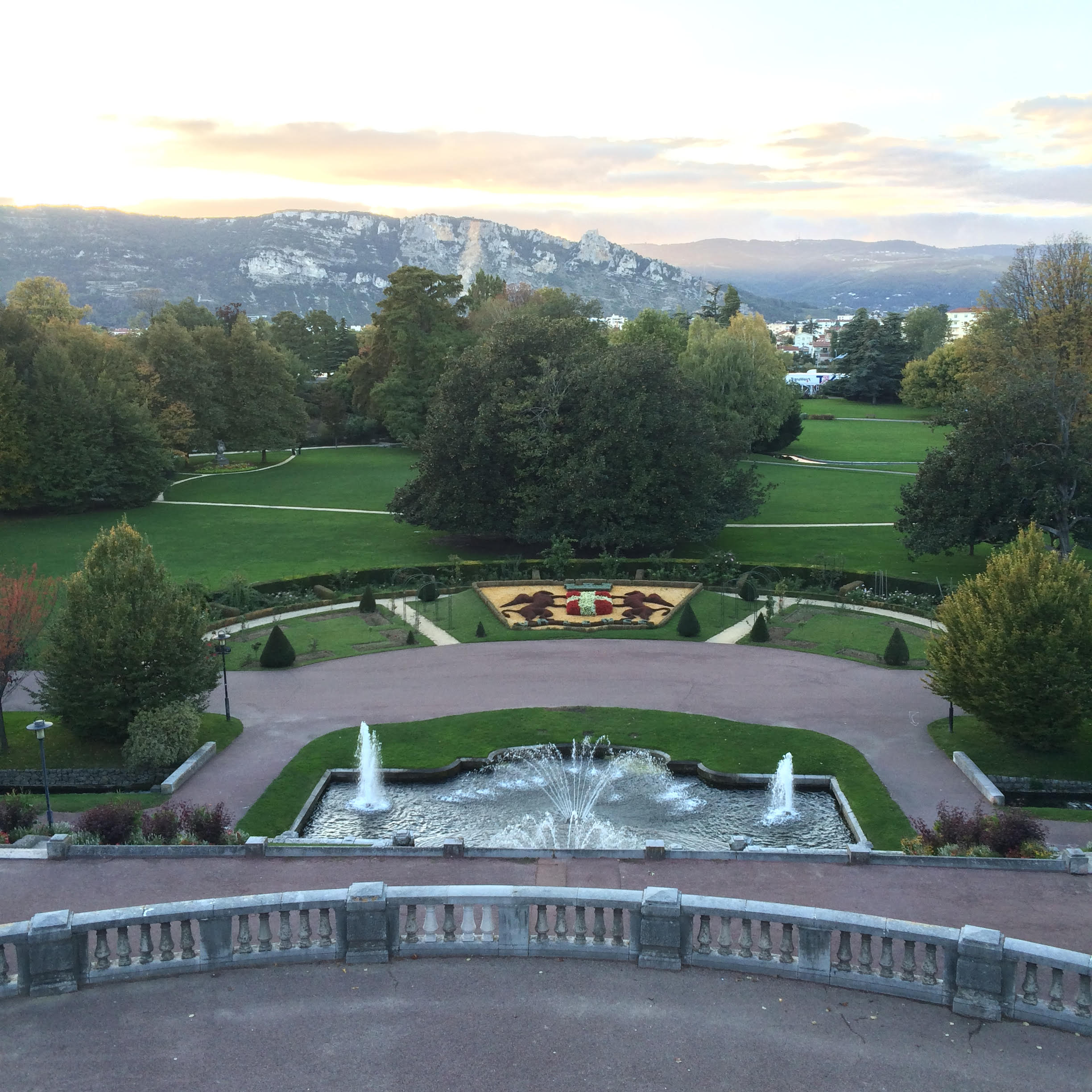
Le Parc Jouvet.
Like the park of the Trinitarians I usually only pass there. By taking the many small paths one can find a little more than a kilometer of race. Ideal for beginners! On the other hand, I am happy to finish my run of the Channels by stretching myself in the grass: I adore (and you must see it on Snapchat ahah)
Distance possible: the park is just over 1km. Small distance.
Type of soil: tar.
Hope this blog post help you find the best places where to run in Valence! Drop yours in the comments.